On October 15, 1870, Howley sailed into Brigus Harbour
October 16, 2013, I walked out to the north head to look for
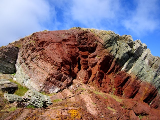
the same cross-section. His sketch in
his 1870 field book showed layers of red sandstone, a thin bed of red
limestone, a layer of red shale, another larger bed of limestone, a bed of red
and green shale and a layer of blue limestone which formed the “sea wall”, the
cliff edge so to speak.
There is now a lighthouse at the head, sitting on this big
lump of shale and limestone, the layers are tilted, facing westward. I didn’t have much difficulty identifying the
shale and the limestones, they were sitting alongside one another but I’ll have
to confirm that with those in the know.
According to his journal, the thin bed of red limestone he describes is
only 3 inches wide and I didn’t see that at all.
The trail was pretty rugged, up and down over huge outcrops
but it was a beautiful day and the peacefulness of the place was well worth the
stiff legs.
Still on the subject of Howley, his name was put forward to
the Historic Sites and Monuments Board of Canada as a person that should have national recognition in Canadian
history. Gerald Penney, a local
archaeologist and Derek Wilton, a geologist, put Howley’s name forward in 2012.
I heard last week that the nomination is being considered. After studying Howley’s journals I was struck
by the fact that this man who left so much information about the province and
contributed to the establishment of the Newfoundland Museum
Here are some pictures from my day out.